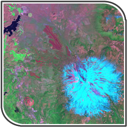
Landsat Data
|
The Landsat program offers the longest continuous global record of the Earth's surface. The most recent Landsat 7 satellite detects and records blue, green, and red light in the visible spectrum, as well as near-infrared, mid-infrared, and thermal-infrared light. [Read more]
Applications: environmental monitoring, regional planning, agriculture, forestry, land use, water resources, natural resource exploration |

|


